Log in
All resources
Create a design
38,326 Free Images of 1870 Maps
maps in the library of congress
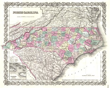
maps by joseph hutchins colton
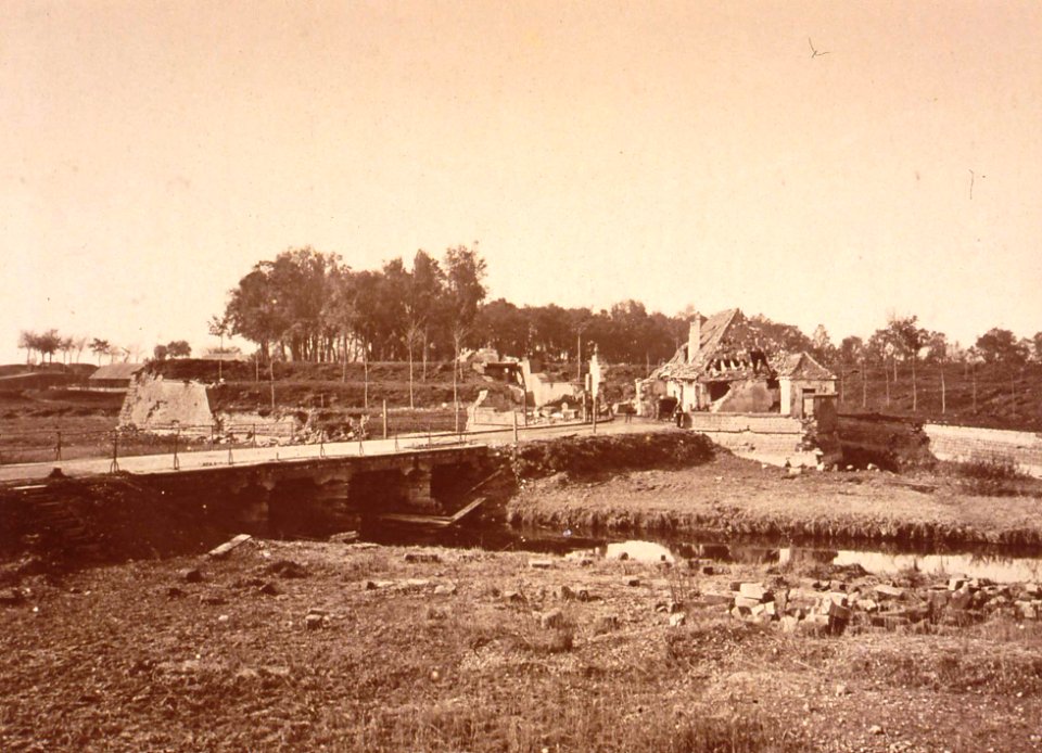
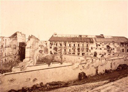
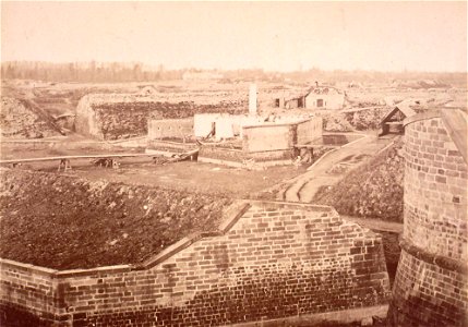
black and white photographs of strasbourg
19th-century photographs of strasbourg
collections de la bibliothèque nationale et universitaire de strasbourg
citadelle de strasbourg after siege of 1870
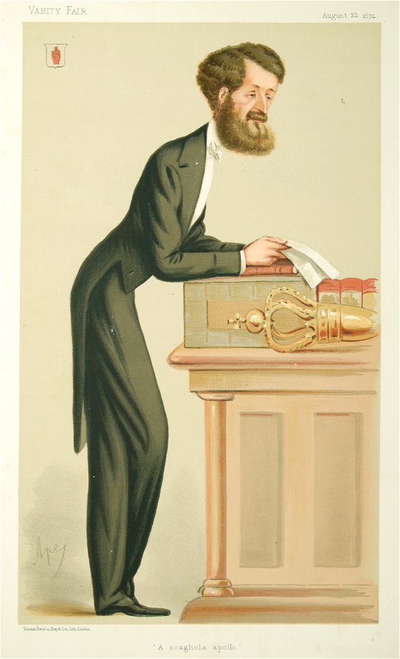
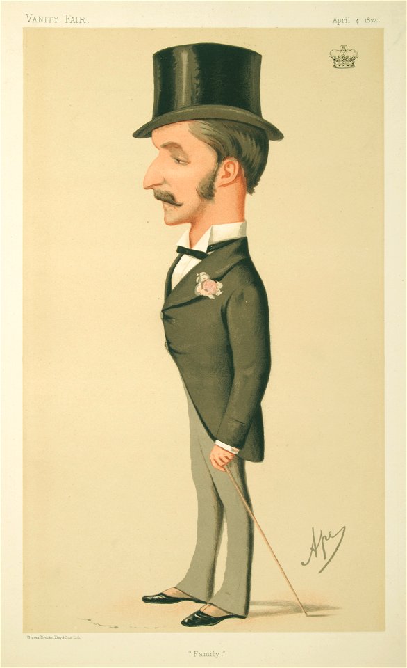
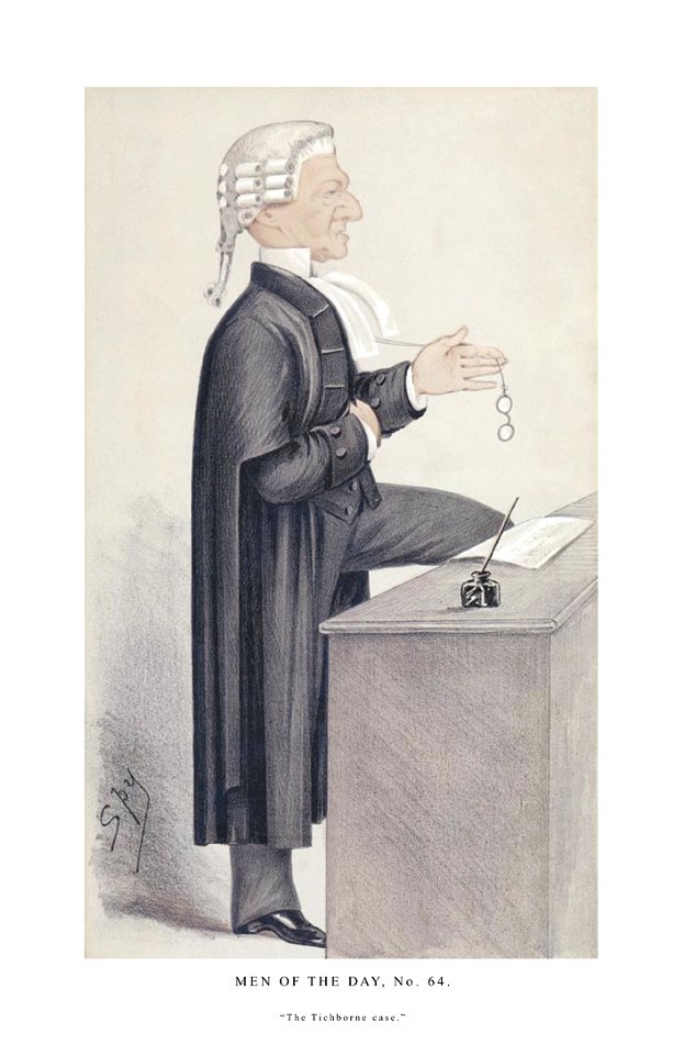
list of vanity fair (british magazine) caricatures (1870–1874)
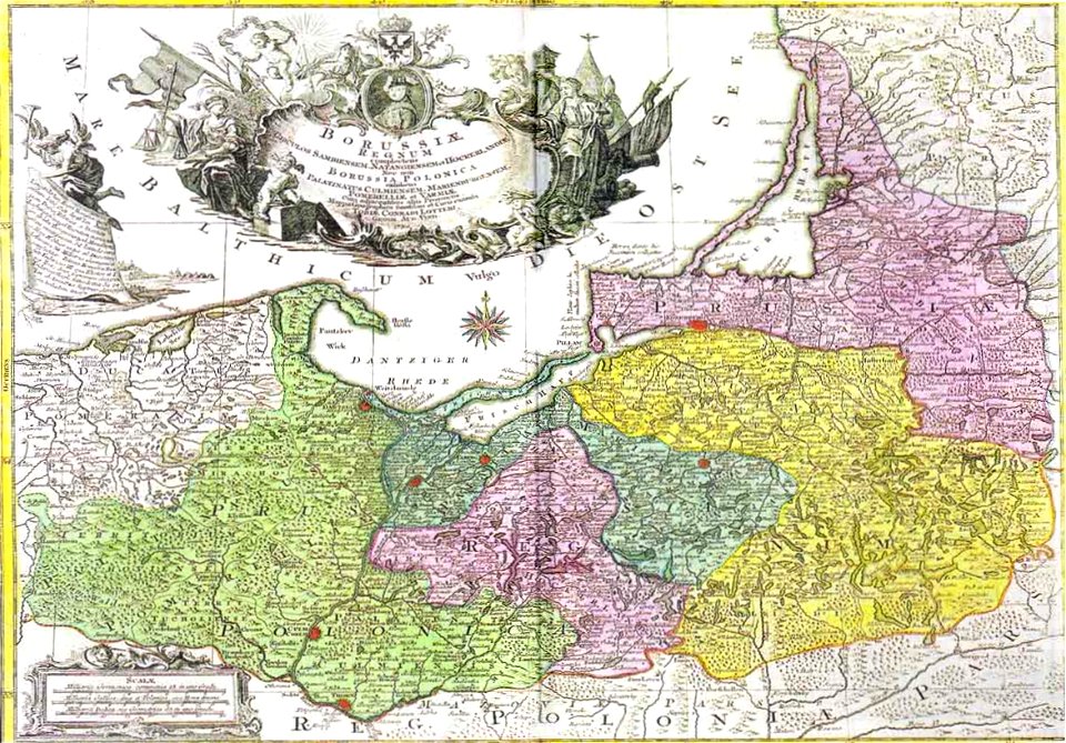
latin-language maps
1855 maps
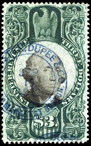
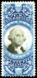
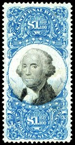
revenue stamps of the u.s. internal revenue service
black and white photographs of strasbourg
19th-century photographs of strasbourg
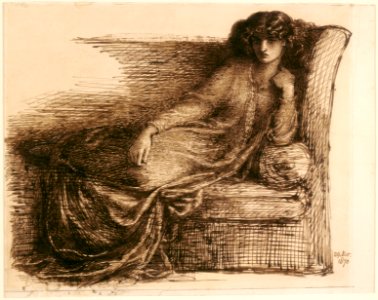
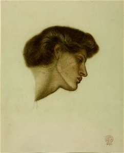
drawings of jane morris by dante gabriel rossetti
d.c.,
chalk drawing
study drawing
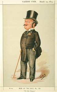
list of vanity fair (british magazine) caricatures (1870–1874)
caricatures by carlo pellegrini in vanity fair
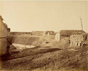
black and white photographs of strasbourg
19th-century photographs of strasbourg
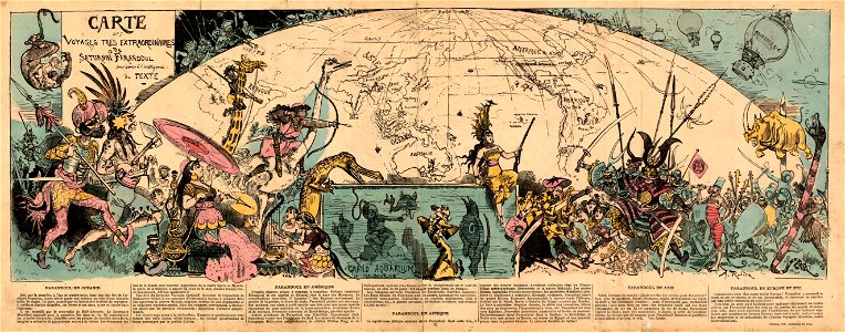
travels and adventures in all parts of the globe (1870)
all round the world: an illustrated record of voyages
caricatures by carlo pellegrini in vanity fair
vanity fair caricatures (politicians)
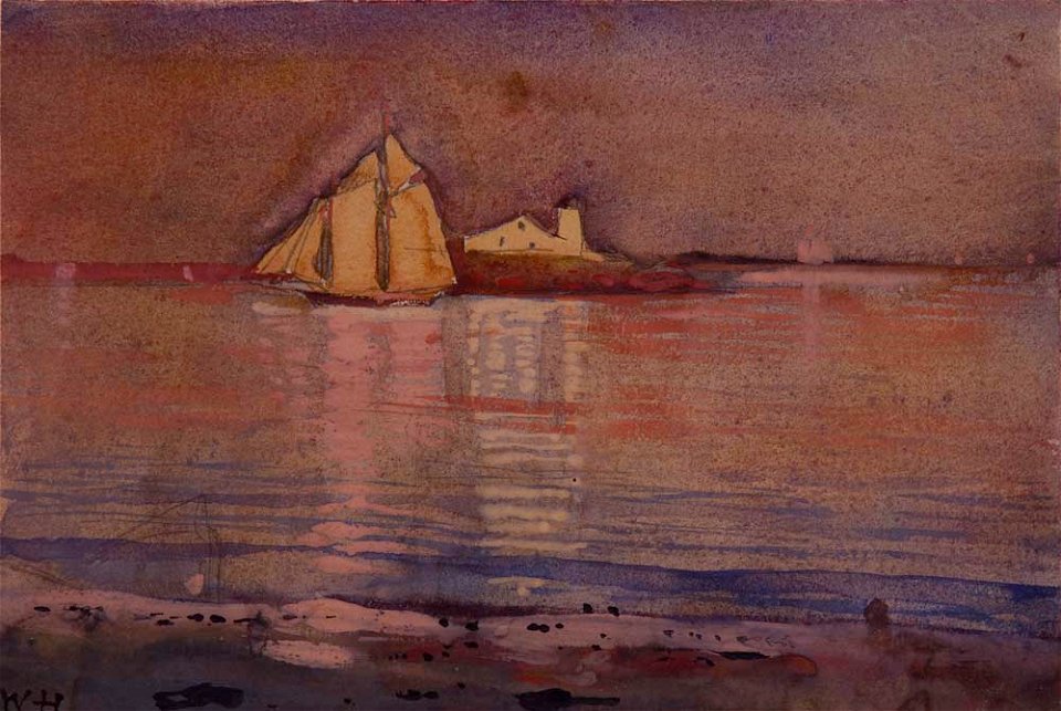
paintings in the cape ann museum
massachusetts
fur clothing of native people of the netherlands
l'illustration européenne
caricatures by carlo pellegrini in vanity fair
vanity fair caricatures (politicians)
1870 oil on canvas paintings in the united states
1870s landscape paintings
1887 deaths
1829 births
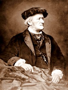
19th-century portrait paintings in the tretyakov gallery
portraits by ilya repin in the tretyakov gallery
revenue stamps of the u.s. internal revenue service
green stamp
black and white photographs of strasbourg
19th-century photographs of strasbourg
black and white photographs of strasbourg
19th-century photographs of strasbourg
portraits with window at the background
portrait paintings of women
black and white photographs of strasbourg
19th-century photographs of strasbourg
male fur clothing in art
albumen prints
list of vanity fair (british magazine) caricatures (1870–1874)
caricatures by leslie ward in vanity fair
black and white photographs of strasbourg
19th-century photographs of strasbourg
1st baron brampton
henry hawkins
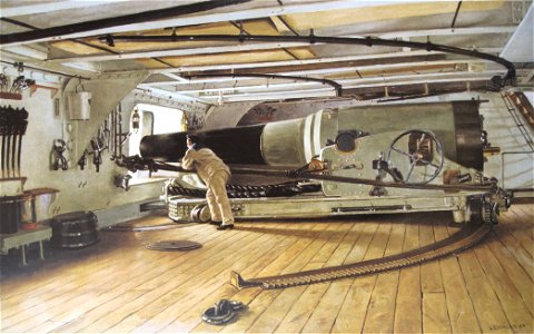
paintings in the musée national de la marine de paris
canon de 27 cm modèle 1870
revenue stamps of the u.s. internal revenue service
blue stamps
revenue stamps of the u.s. internal revenue service
blue stamps
revenue stamps of the u.s. internal revenue service
stamps of the united states 1870-1880
revenue stamps of the u.s. internal revenue service
blue stamps
maps with cartouches
old maps of toul
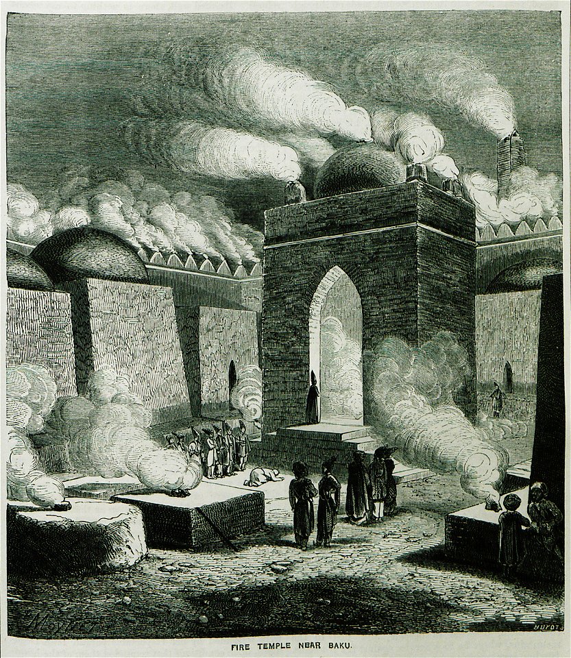
old maps of the middle east
assyrian people
maps in the library of congress
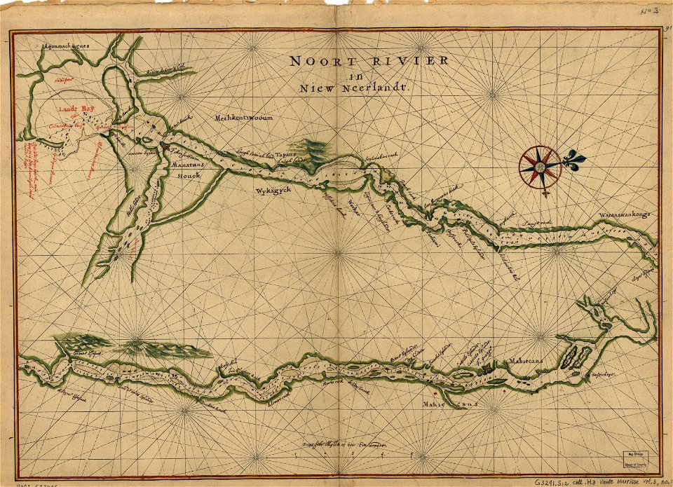
maps of the hudson
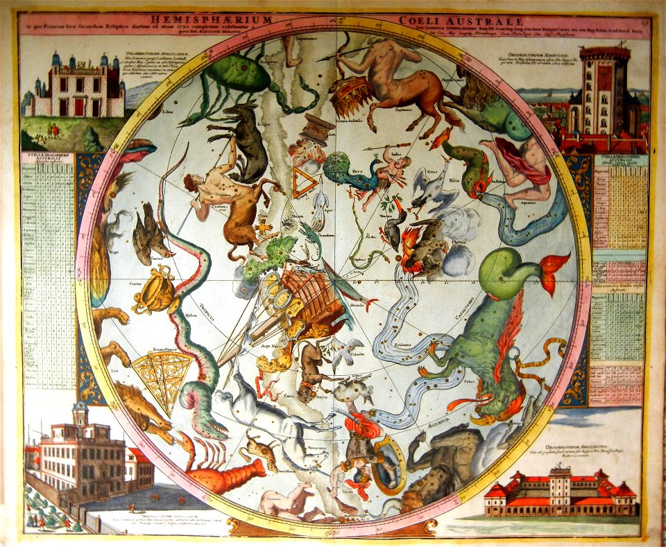
old celestial maps
maps with figures
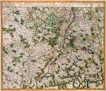
maps of 18th-century europe
latin-language maps
maps by joseph hutchins colton
1855 maps
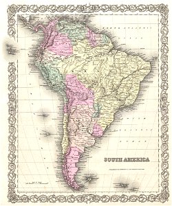
1850s maps of south america
english-language maps
maps of the west-indische compagnie
maps by william faden
18th-century maps of indonesia
1753 maps
maps in the library of congress
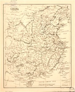
old maps of china
maps in the library of congress
old maps of china
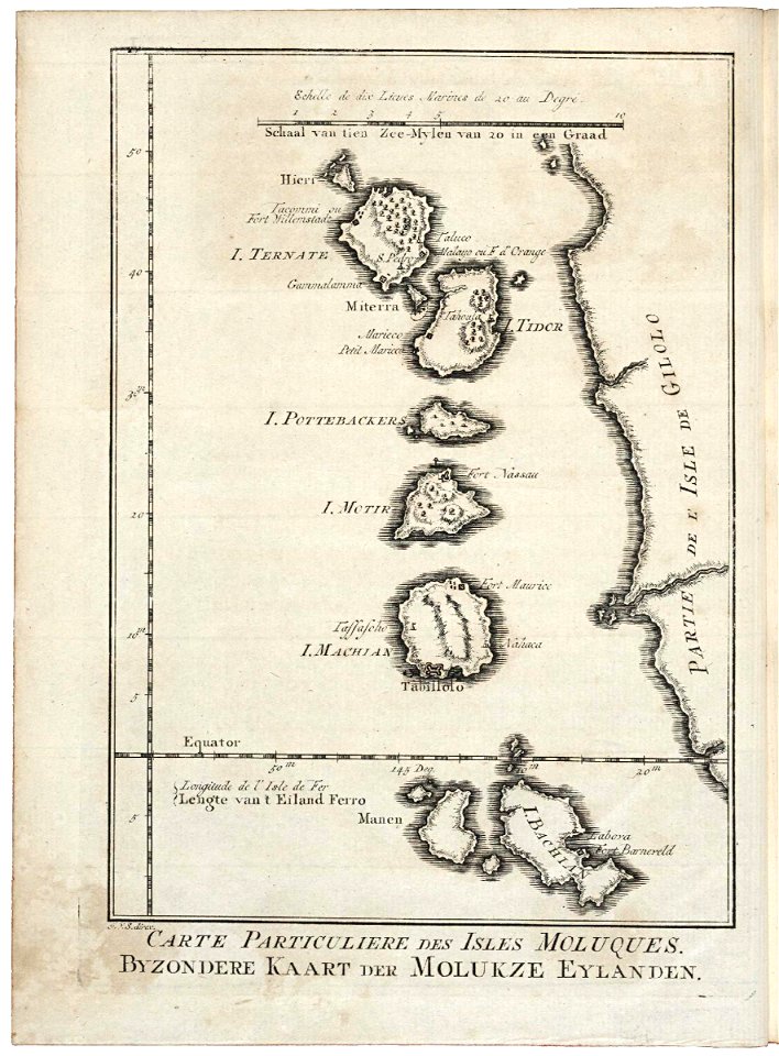
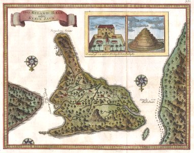
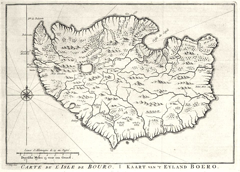
18th-century maps of indonesia
maps by jacques-nicolas bellin
maps by jacques-nicolas bellin
german-language maps
charts and maps of the royal museums greenwich
james cook (maps relating to)
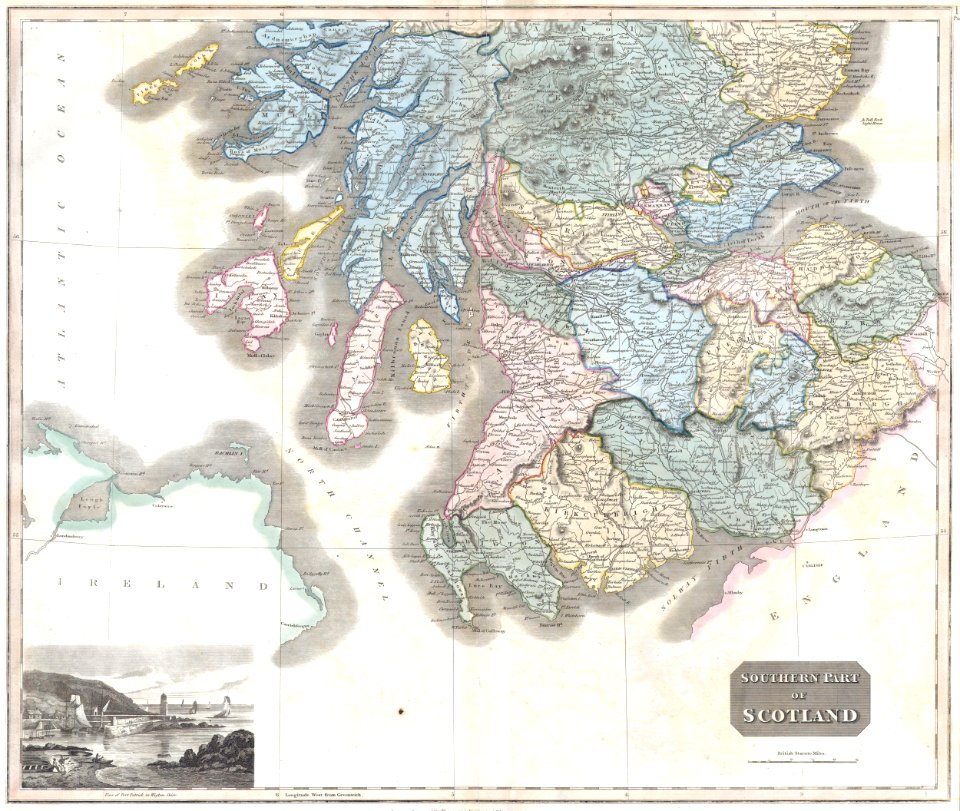
old maps of scotland
maps by john thomson
18th-century maps of italy
johann baptist homann
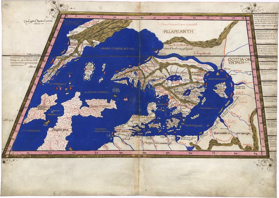
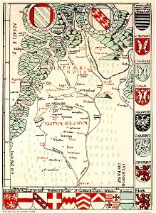
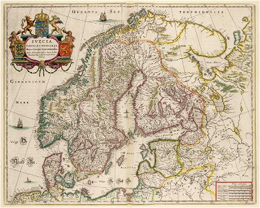
extra-ptolemaic maps of scandinavia
latin-language maps
kardiotissas
polyaigos
old maps of greece
old maps of turkey
maps of polders in north holland
old maps of north holland
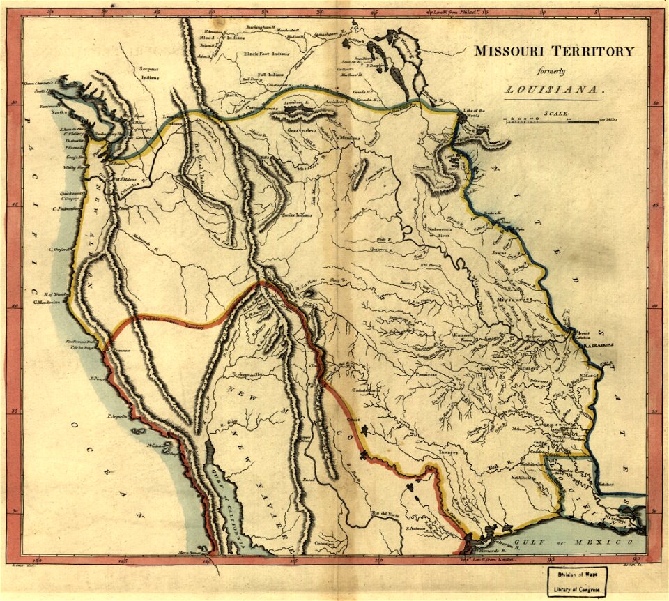
maps in the library of congress
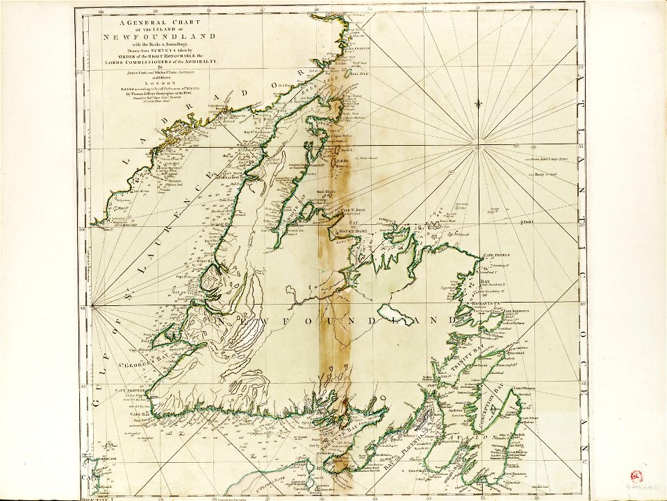
old maps of canada
maps in the library of congress
old maps of canada
extra-ptolemaic maps of scandinavia
latin-language maps
maps in the library of congress
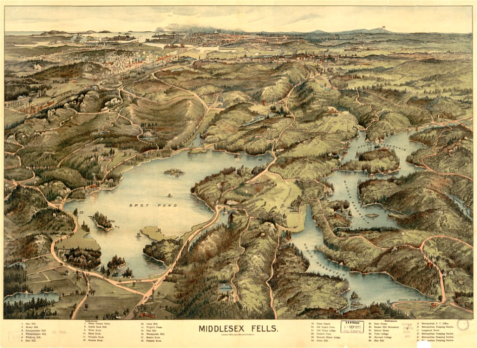
old maps of massachusetts
maps in the library of congress
old maps of massachusetts
maps in the library of congress
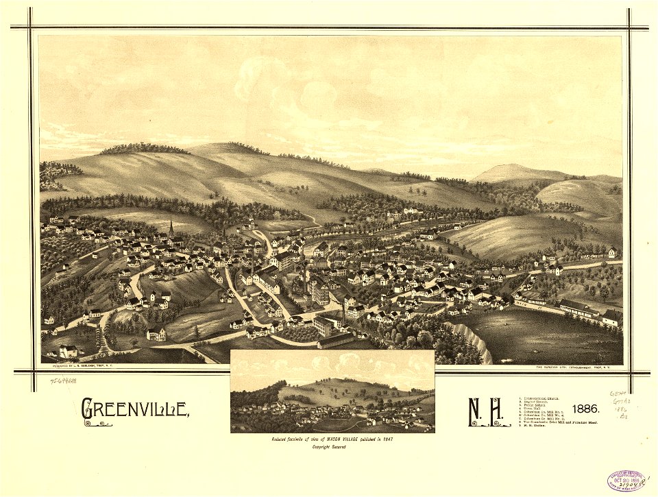
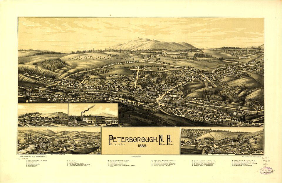
old maps of new hampshire
maps in the library of congress
old maps of new hampshire
charts and maps of the royal museums greenwich
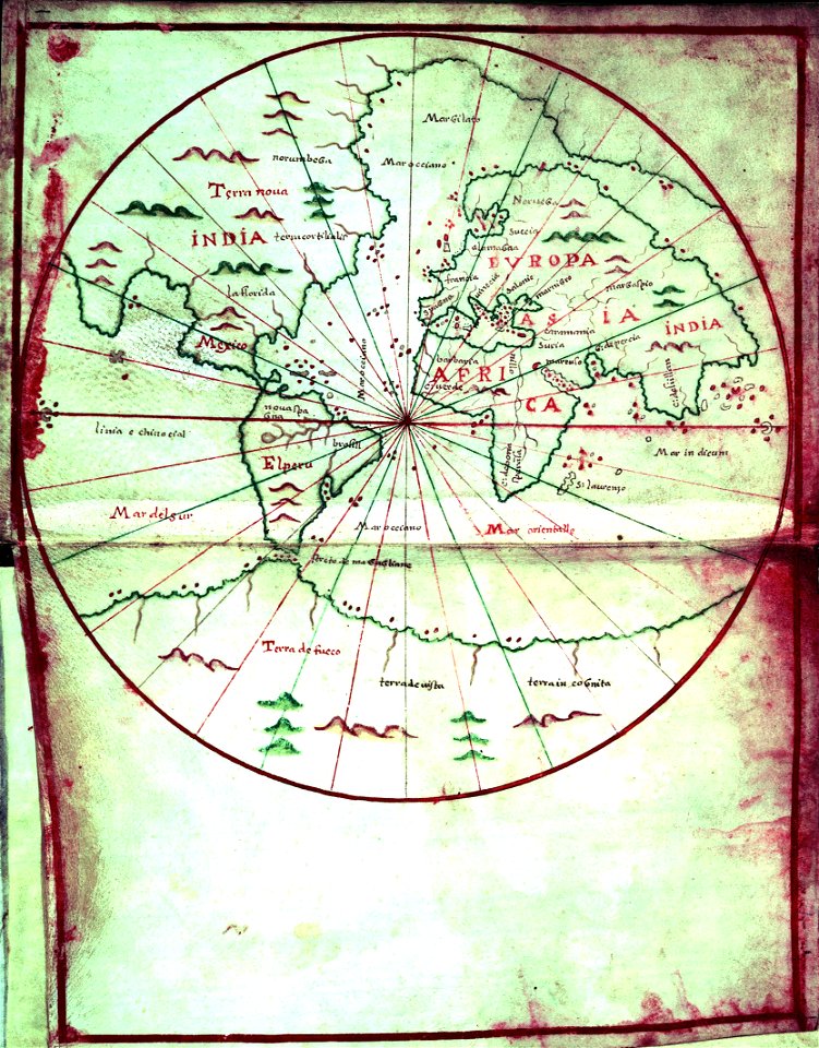
1590s maps of the world
charts and maps of the royal museums greenwich
1590s maps of the world
maps in the library of congress
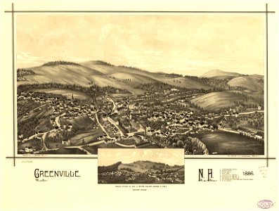
old maps of new hampshire
maps in the library of congress
old maps of new hampshire
english-language maps
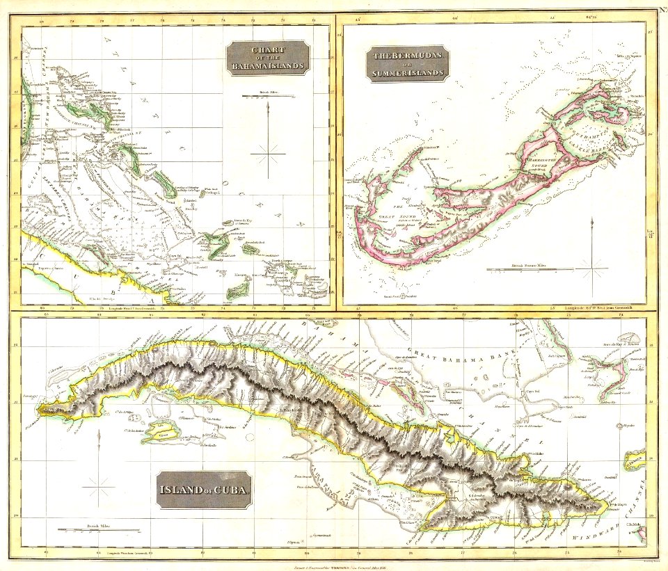
colonial cuba
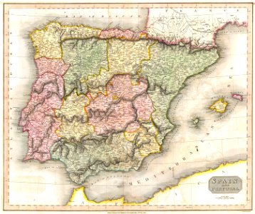
old maps of the iberian peninsula
maps by john thomson
dillingen
saarland
maps by willem and johannes blaeu
copper engraving
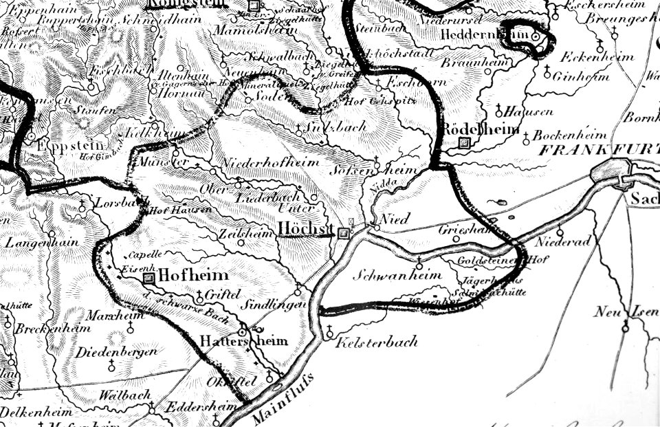
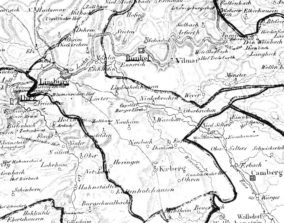
map „das herzogthum nassau“ by j.b. fischer
1828
kümmerly & frey
maps of bern
cosmographia claudii ptolomaei alexandrini
latin-language maps
old maps of tuscany
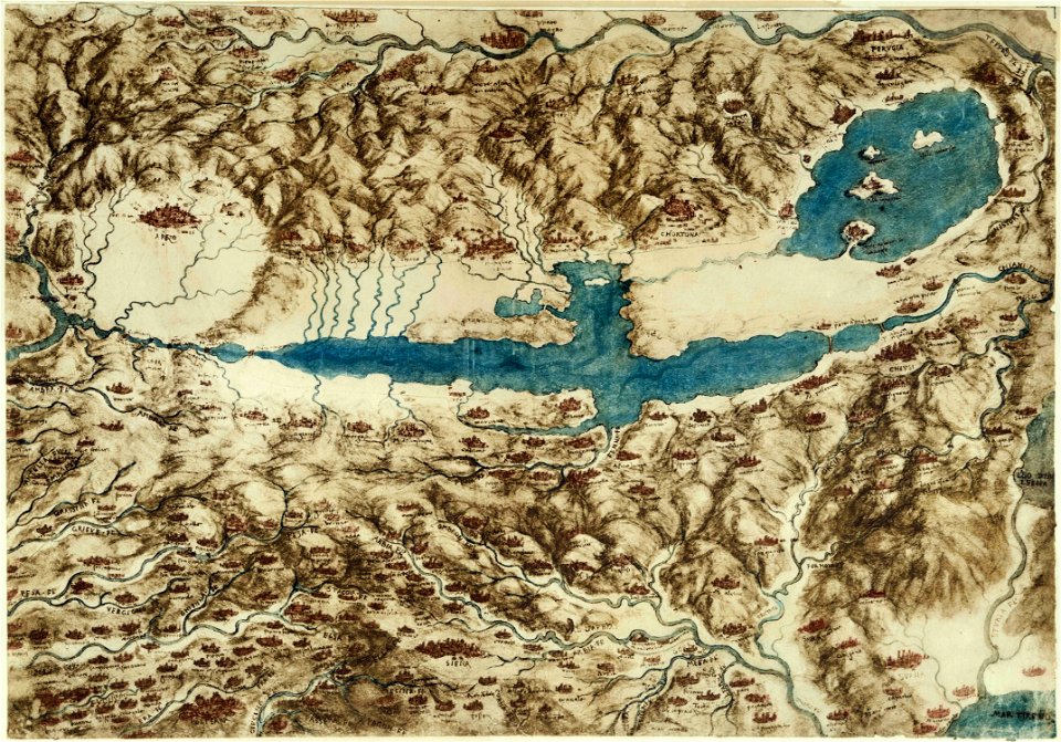
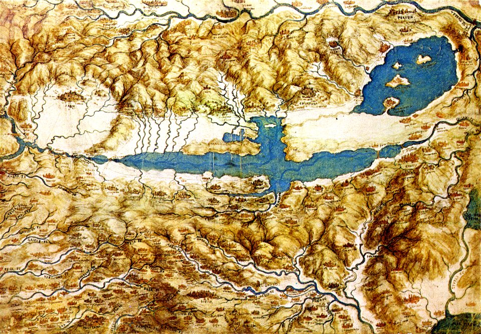
codex windsor
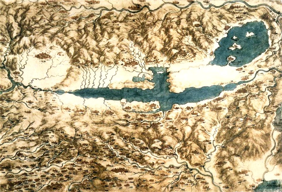
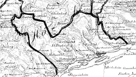
details of müller's map of bohemia
history of týn nad vltavou
old maps of tuscany
codex windsor
old maps of tuscany
codex windsor
popular science monthly illustrations/volume 16
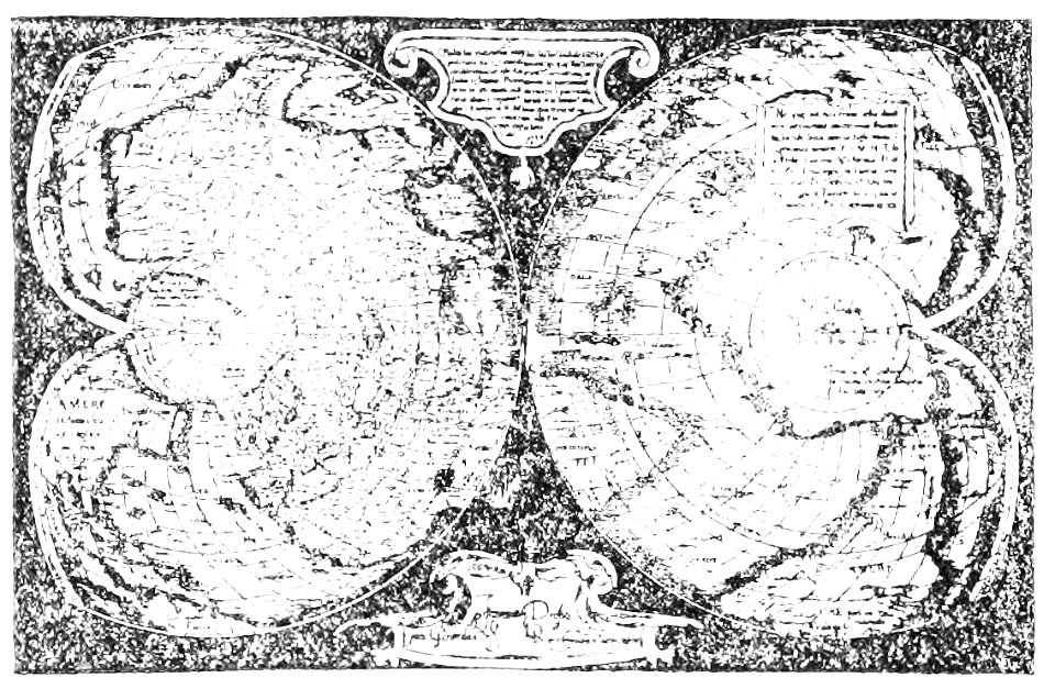
mercator 1569 world map
map „das herzogthum nassau“ by j.b. fischer
1828
eltville am rhein
1828
map „das herzogthum nassau“ by j.b. fischer
1828
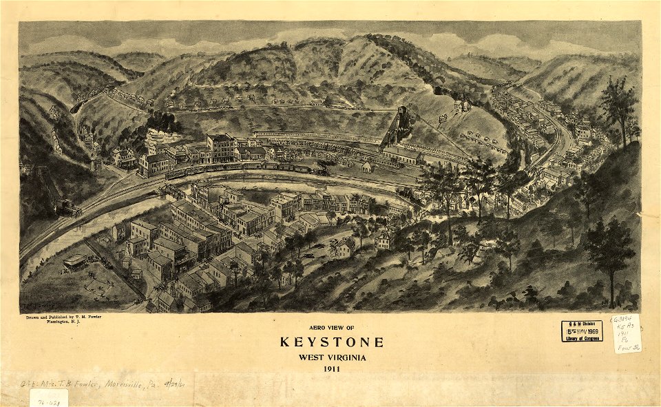
maps in the library of congress
1911 maps
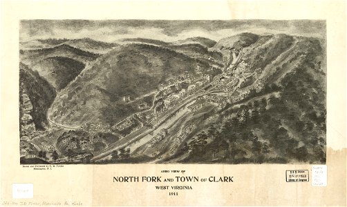
maps in the library of congress
1911 maps
maps in the library of congress
1911 maps
old maps of aust-agder
old maps of telemark
french-language maps
pictorial maps
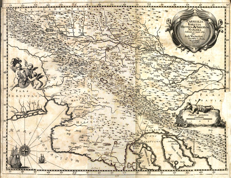
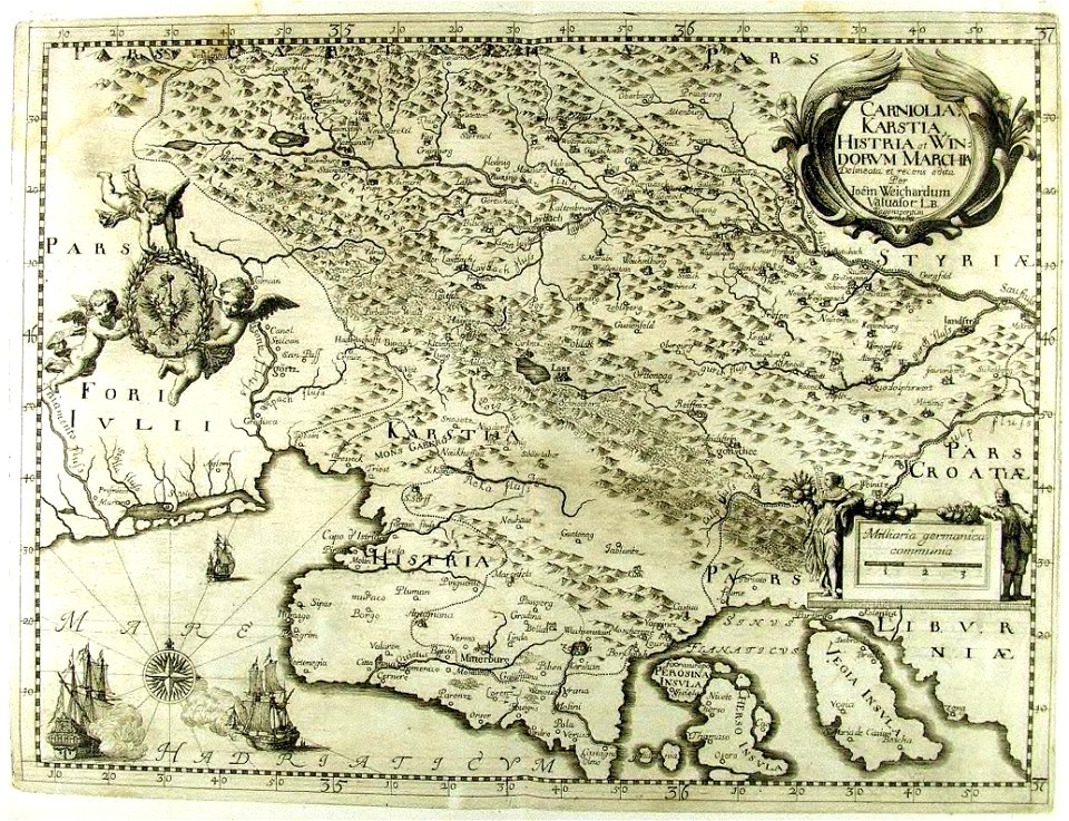
17th-century maps of slovenia
1689 maps
17th-century maps of slovenia
1689 maps
coats of arms on maps
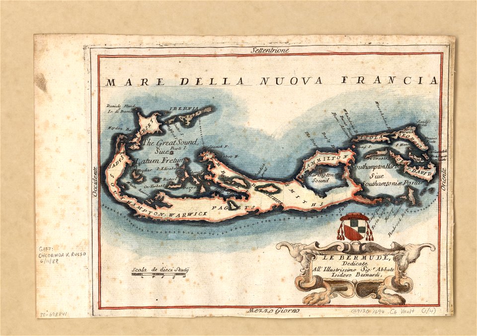
bermuda
maps in the library of congress
1883 maps
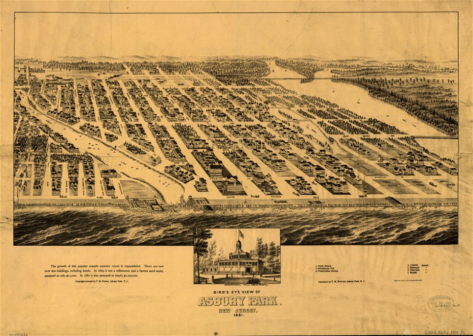
maps in the library of congress
1881 maps
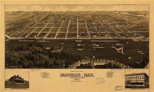
maps in the library of congress
1883 maps
maps in the library of congress
1883 maps
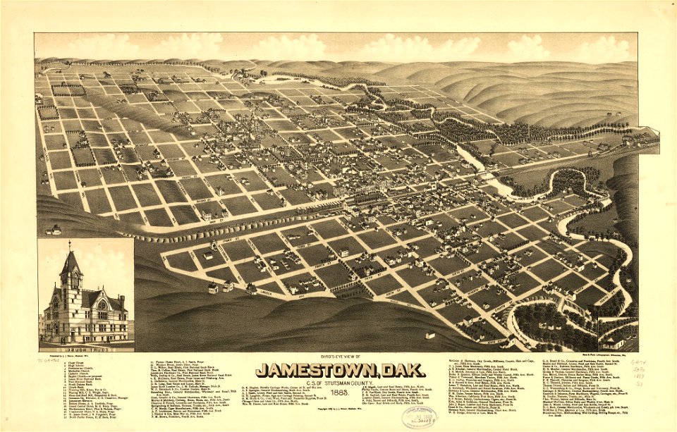
maps in the library of congress
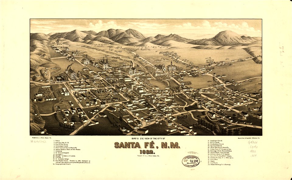
old maps of new mexico
maps in the library of congress
1883 maps
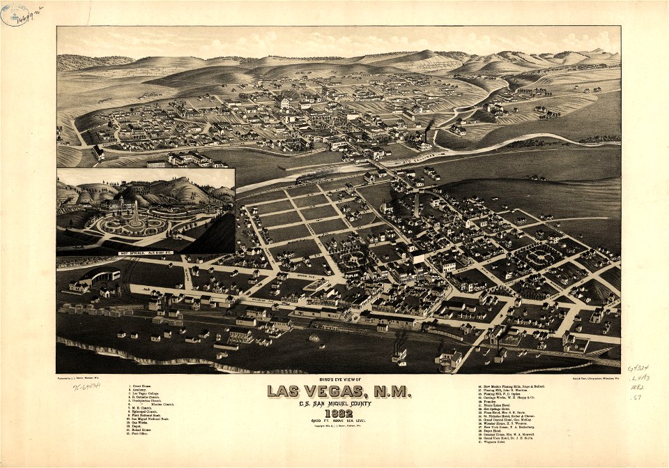
maps in the library of congress
old maps of new mexico
maps in the library of congress
old maps of new mexico
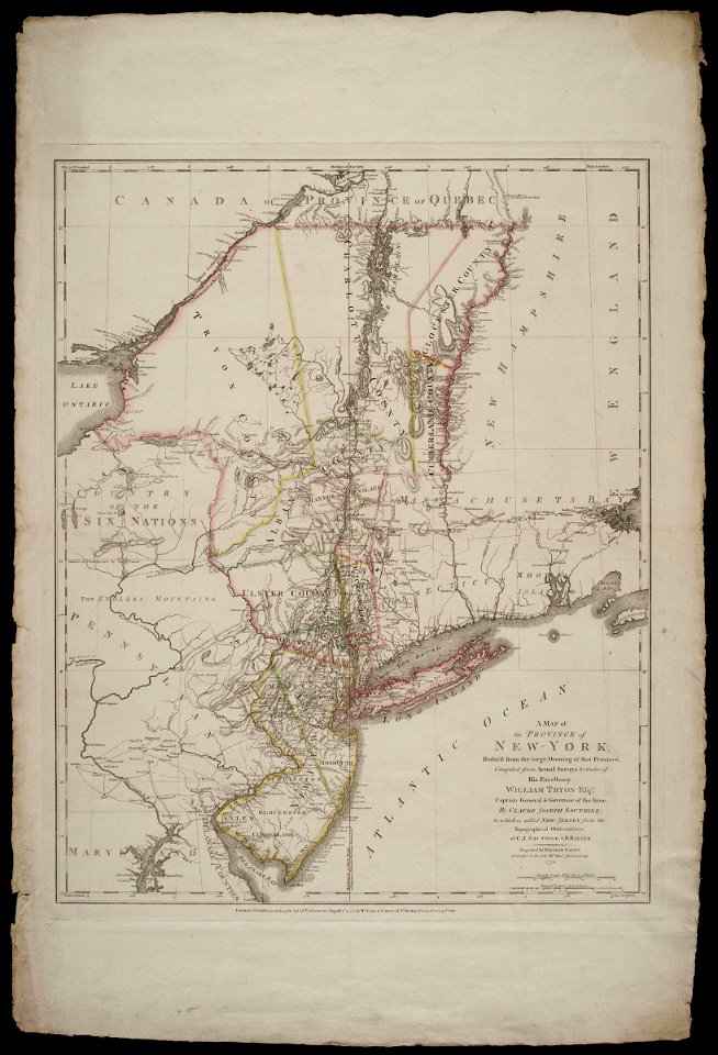
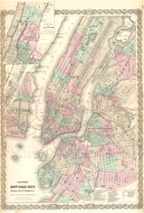
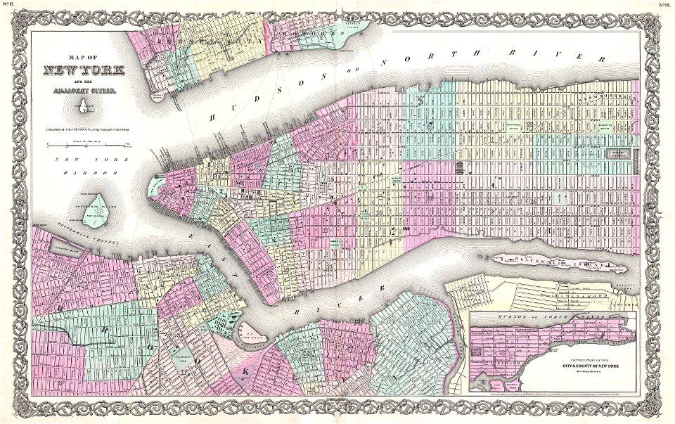
old maps of new york city
1865 maps
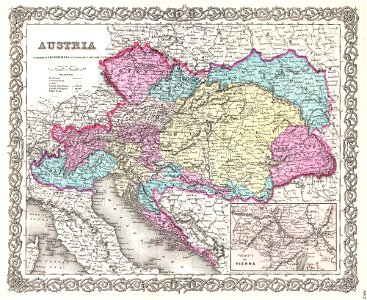
old maps of the austrian empire
1855 maps
19th-century maps of central america
1855 maps
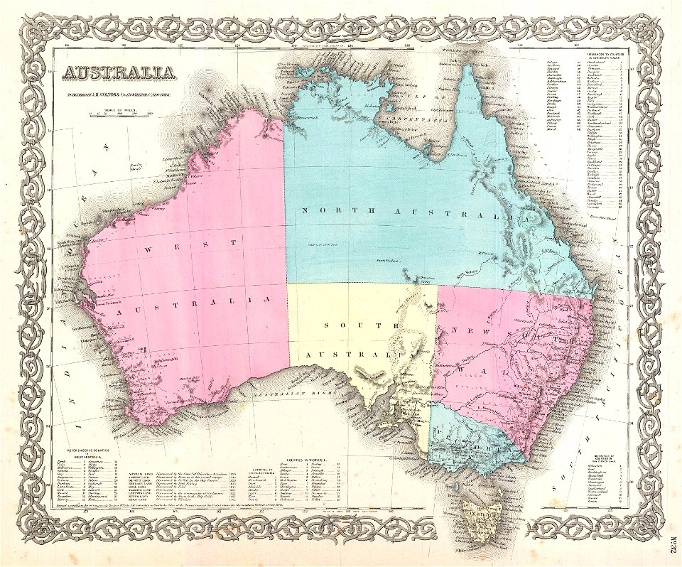
maps by joseph hutchins colton
old maps of australia
old maps of new york city
1855 maps
19th-century maps of london
1855 maps
maps in the library of congress
1909 maps
maps in the library of congress
old maps of new mexico
maps in the library of congress
1909 maps
maps by matthäus seutter
latin-language maps
maps of the dutch east india company - indonesia
1753 maps
2601 - 2700 of 38,326
Next page
/ 384